Drone Surveying & Mapping Drones
AI Powered Advanced Mapping Drones with Endless Customized Features
What are Mapping Drones?
Uncover the Unseen from the Sky
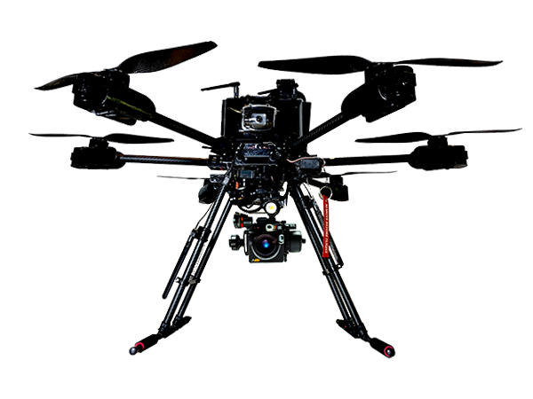
A Mapping Drone is a UAV equipped with special sensors and cameras to capture high-resolution imagery, data, and geospatial information from the sky.
Types of Mapping Drones
Photogrammetry
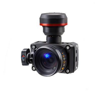
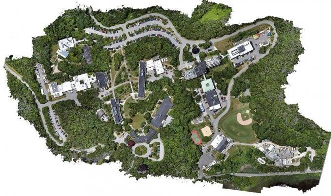
Photogrammetry is a technology that creates 3D maps of surfaces or objects by capturing overlapping images and then precisely analyzing their positions relative to the drone’s location. This process ultimately results in the creation of highly accurate and detailed 2D and 3D models of the surveyed area.
LiDAR Mapping
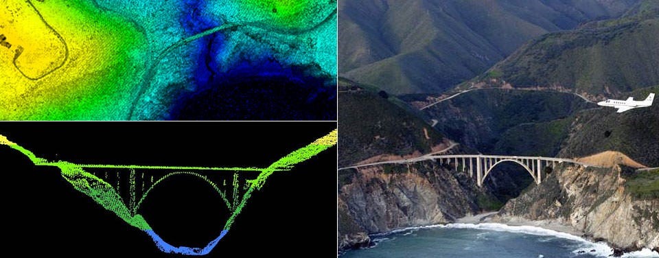
LiDAR technology is used to get accurate measurements of large structures by mapping drones, and it create highly detailed 3D point clouds of the landscape. LiDAR sends laser pulses and measures the time it takes for them to bounce back, allowing precise elevations and terrain data.
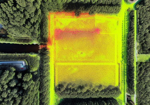
Thermal Mapping
Thermal Mapping is a imaging technology to create maps or visual representations of temperature variation across a specific area or object. It has special camera and a sensor that can detect and capture infrared radiation emitted by objects or surfaces. By visualizing these temperature differences, thermal mapping uncovers valuable data with significant implications across various industries.
Digital Elevation Model (DEM)
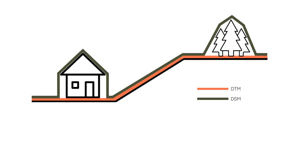
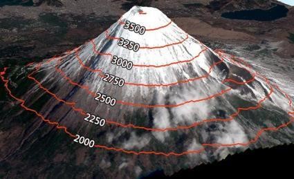
Digital Elevation Model (DEM) is a digital representation of the Earth’s surface topography or terrain. This is the superset of both Digital Terrain Models (DTM) and Digital Surface Models (DSM)
This is an Advanced 3D model provided by specific Multisprectral LiDAR sensor.
Fully Customized Features
As a leading drone manufacturer in the region, we do A to Z customization for mapping drones. Use our advanced drone customizer tool to customize your drone.
Mapping Drone Features
We have Endless Solutions for your Drone Requirement
Contact us for any customization for your drone requirement
Key Applications of Mapping Drones
Construction Mapping:
In Civil Engineering field mapping drones are used for site surveys, progress monitoring, and as-built documentation.
Mining:
Mining is an industry that having often unexpected situations. To avoid such situations and ensure the safety, mapping drones are used for surveying and monitoring mine sites, estimating stockpile volumes..etc
Infrastructure Inspection:
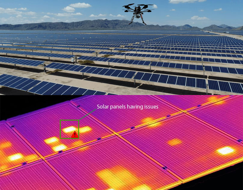
Mapping drones are used to inspect infrastructure such as bridges & power lines to detect damage or potential issues, especially in solar panel inspection. Mostly thermal cameras are used to investigate these issues and ensure safety.
Agriculture:
Farmers and agricultural institutions used mapping drones to monitor crop health, find drainage facilities, and create prescription maps. For these services, both LiDAR and Thermal cameras are used.
Search and Rescue:
In emergency situations, drones equipped with thermal cameras and GPS can be used for search and rescue operations.
Oil & Gas Inspection:
An oil and gas inspection drone is a remotely piloted aircraft equipped with sensors to detect and monitor hazardous conditions and defects in oil and gas infrastructure. It can safely and efficiently inspect hard-to-reach areas, reducing costs and improving safety
Customize Your Drone!
Advanced Drone Customizer Tool
